- Welcome to InterCAD Systems Pvt. Ltd.
- Welcome to InterCAD Systems Pvt. Ltd.
+91 98470 32588
sales@intercadsys.com
+91 906 136 5000
support@intercadsys.com
+91 906 111 1060
training@intercadsys.com
+91 98470 32588
sales@intercadsys.com
+91 906 136 5000
support@intercadsys.com
+91 906 111 1060
training@intercadsys.com

The process of designing a model with the ENVI-met simulation software starts with the selection of the appropriate climate input data. As an next step you define the model domain by specifying the size, resolution and location of buildings and other urban elements. You have a variety of options, such as the type of land cover and the type of vegetation.
ENVI-met is designed for microscale analysis with a typical horizontal resolution from 0.5 to 5 m and a typical time frame of 24 to 48 hours with a time step of few seconds. This resolution allows you to analyse even small-scale interactions between individual buildings, surfaces and plants.
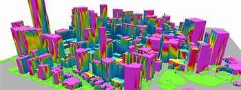
Use ENVI-met microclimate simulation software for predicting, analysing, and visualizing the microclimate of cities, buildings, and green spaces. You have a variety of applications to use your simulation data, such as building design, urban planning, climate change adaption and energy analysis.

We commit to help you work faster and smarter. Let us show you how
Contact us